
When Aerial Real Estate Photography Helps a Listing in Reno and Northern Nevada
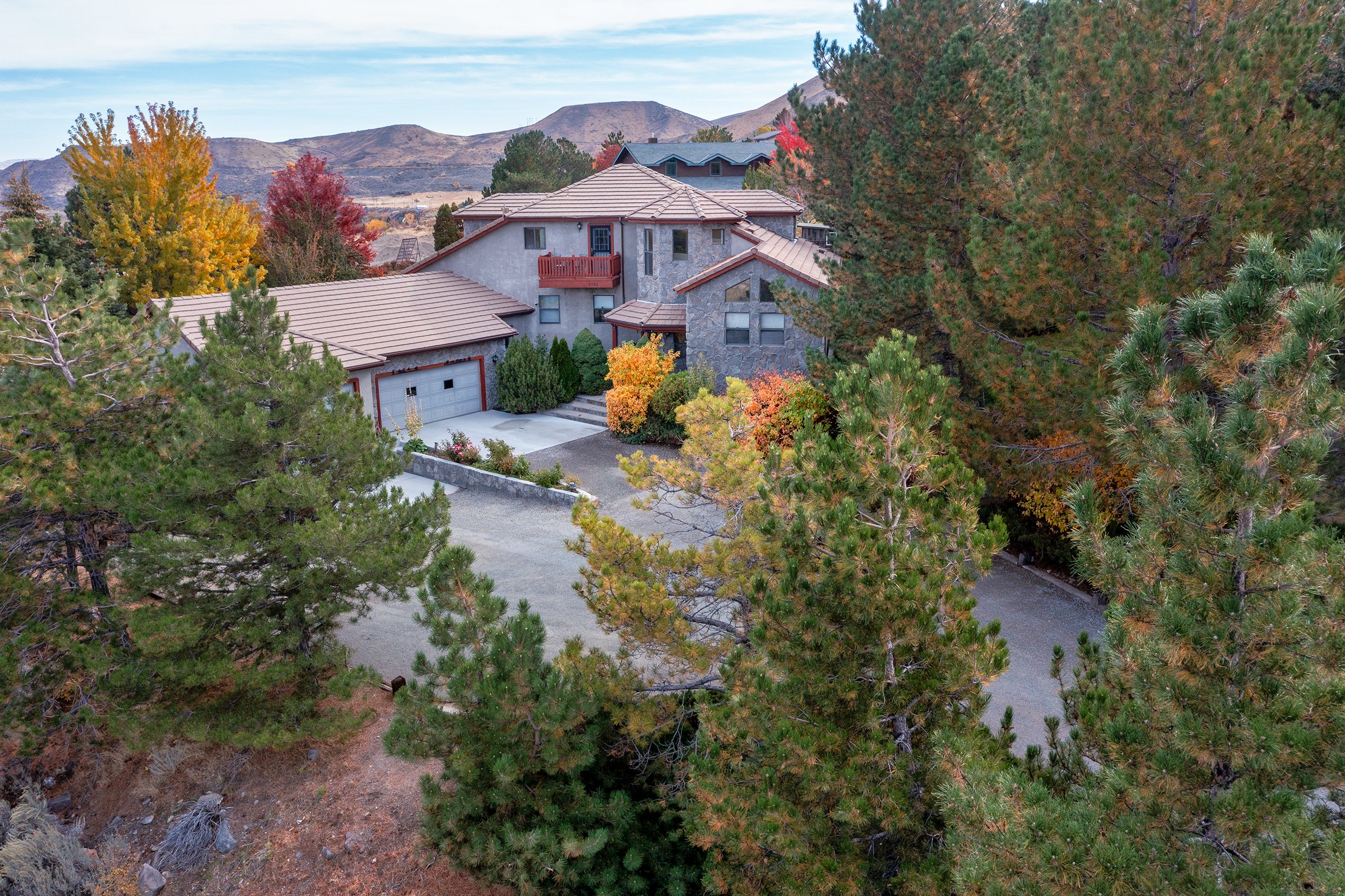
Aerial view showing the property in its wider setting
Aerial real estate photography can be a powerful tool, but it is not necessary for every listing. For some homes, the strongest photos are still the interior, the front exterior, the kitchen, the primary suite, and the main living spaces.
But for the right property, aerial photos can tell a buyer something that ground-level photos simply cannot.
In Reno and throughout Northern Nevada, many homes are defined as much by their setting as by the structure itself. Aerial photography can help show the full picture: the lot, the views, the driveway, the surrounding neighborhood, nearby open space, outbuildings, landscaping, and how the home sits on the land.
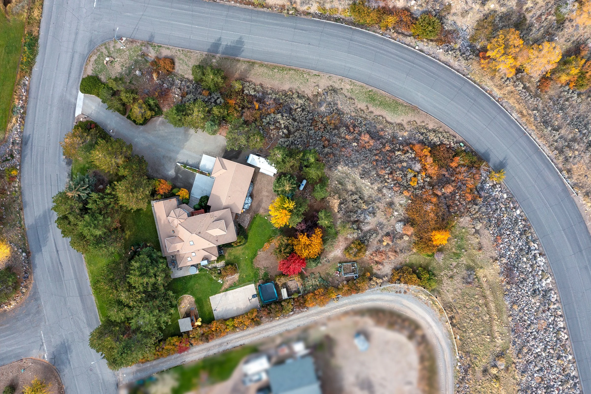
Drone perspective highlighting the home and lot layout
This is especially helpful for larger lots, rural properties, homes with mountain or valley views, equestrian properties, luxury listings, and homes where privacy or location is part of the appeal.
Aerial images can also help buyers understand layout and context. From the ground, a property may look attractive, but an aerial view can show how the backyard connects to the home, how much space surrounds the property, or how close it is to nearby roads, trails, or open land.
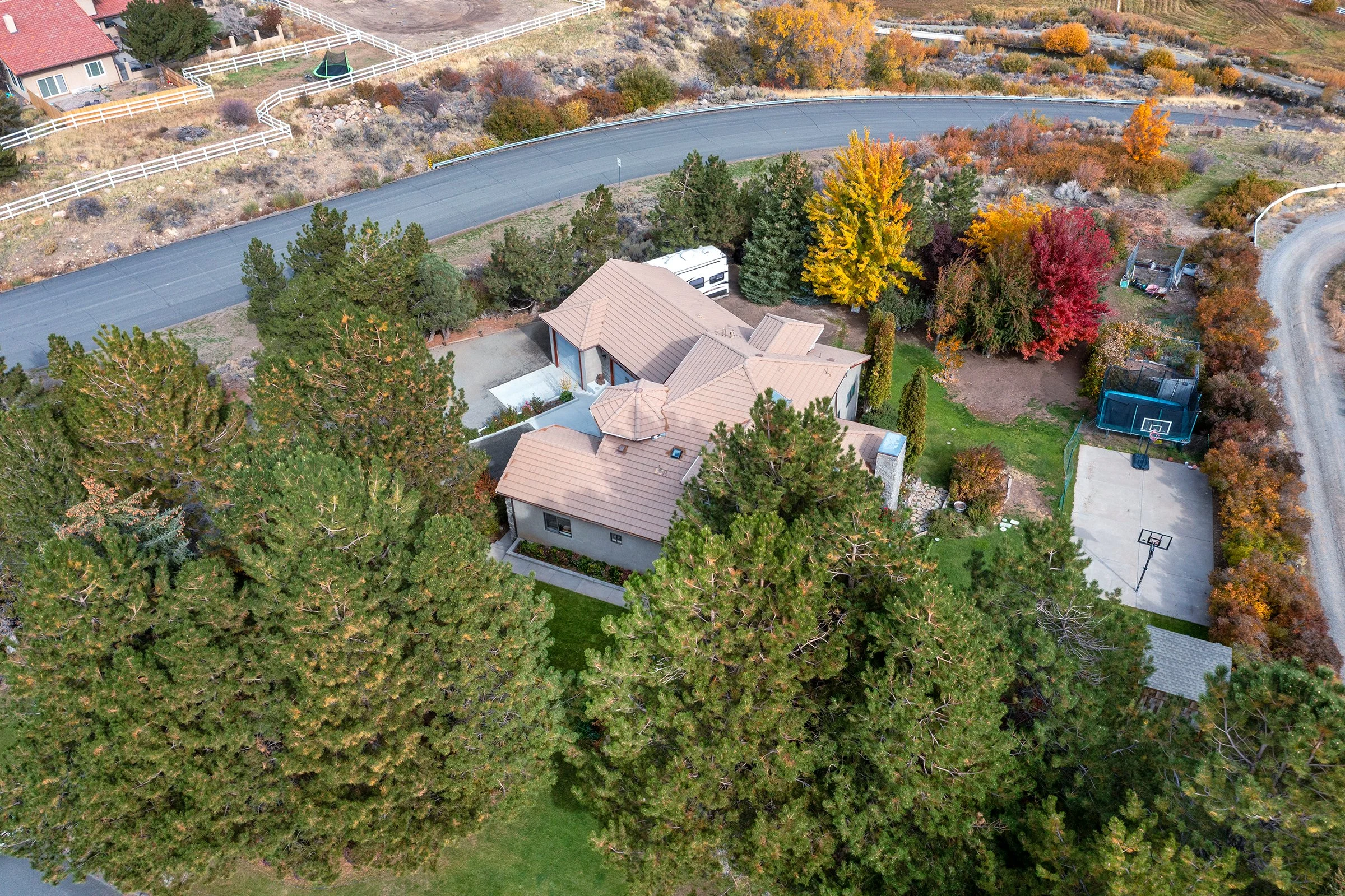
Aerial image showing features and surrounding landscape
For listings in places like Reno, Sparks, Verdi, Fernley, Fallon, Carson City, Washoe Valley, and the surrounding areas, aerial photography can be especially useful because so many properties have a strong relationship to the landscape.
The goal is not to add drone photos just because they look impressive. The goal is to use them when they help answer a buyer’s questions and strengthen the listing presentation.
Good aerial photography should support the story of the property. When used well, it gives buyers a better sense of place before they ever schedule a showing.